Arney Run Park
Location
2340 Meister Rd SW
Lancaster, OH 43130 | MAP
Hours
Open Year-Round, Dawn to Dusk
About the Park
1+ acres in Hocking Township in the southwest-central part of the county.
The site was acquired 1992 by donation from George and Miriam Jaschek.
Some of the activities you can enjoy at this park are viewing Mink Hollow Covered Bridge, birding and nature watching, photography, hiking or walking, dog walking, picnicking.
Park Features
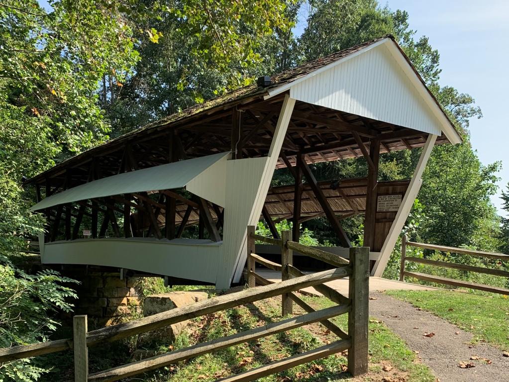
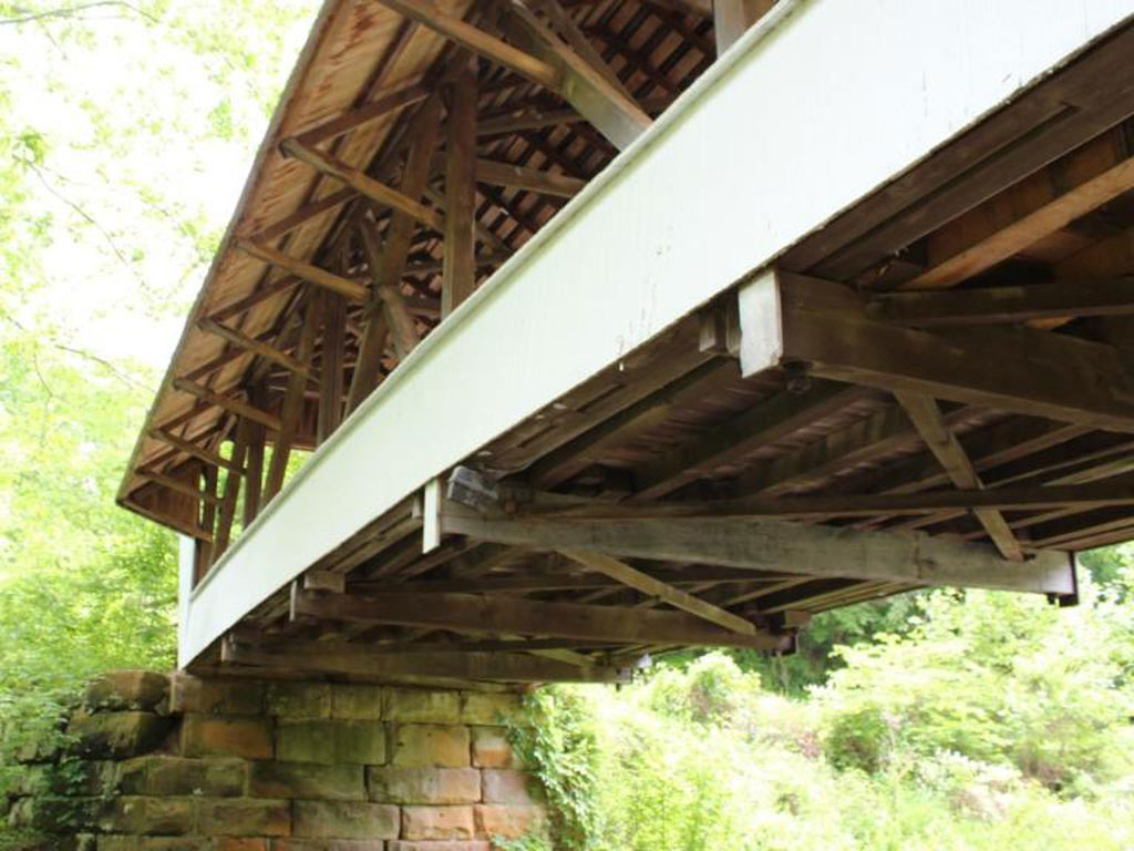
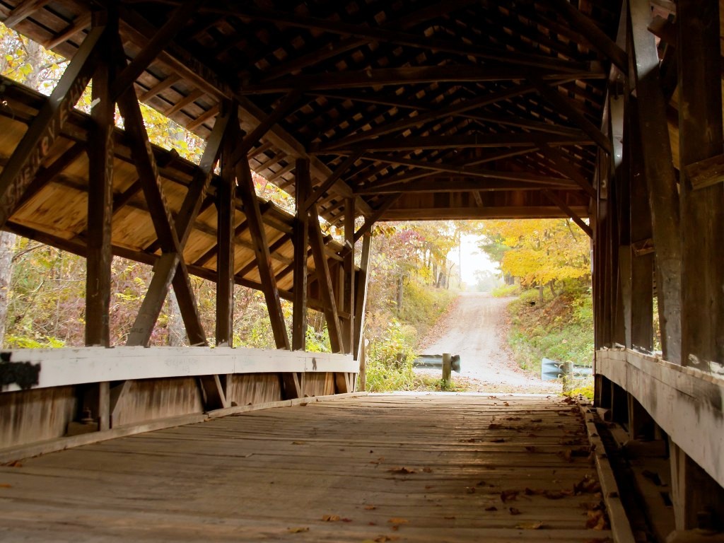
The main feature of this park is this beautiful ‘house bridge’. It was built in 1887 by Jacob R “Blue Jeans” Brandt using the multiple kingpost truss with a central X brace, is 54′ long plus 7′ overhangs at each end and sits over Arney Run (creek).
The bridge is located, not in Mink Hollow, but about five miles away in Oil Mill Hollow. To more accurately reflect its location the name was changed to what is the longest official name of any bridge in the US: Mink Hollow over Arney Run in Oil Mill Hollow near the Borcher’s Mill Covered Bridge.
Read more about Mink Hollow Covered Bridge or our other covered bridges.
Waterways
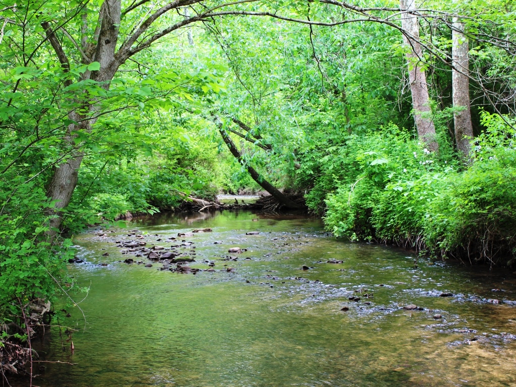
Arney Run
Content (to be added).
Trails
There are no trails at this location.
Shelters & Facilities
Reservations: No, this covered bridge is not available for private events.
Rental Fee: N/A
Security Deposit: N/A
Electricity: No
Bathrooms: No
Description: Because of limited parking at this covered bridge, it is not made available for private events.
Picnic Shelter
There is no picnic shelter at this location.
Picnic Tables
There is a picnic table and a bench near the parking area.
Map & Directions
Use the map above to get directions to this park. To view a Fairfield County map showing all Fairfield County Park District parks, see Map of Locations.
Location
2340 Meister Rd SW
Lancaster, OH 43130
Directions from Lancaster: From the corner of N Memorial Dr (US-33) and W Main St (US-22), drive west toward Circleville on Lincoln Av (US-22, Cincinnati-Zanesville Rd SW) approximately 0.7 miles. Turn south (left) onto Boving Rd; drive 2 miles. Turn right onto Hamburg Rd SW; drive 2.7 miles. Turn left onto Hopewell Church Rd SW; drive 0.8 miles. Turn left onto Meister Rd SW; drive 0.7 miles. Meister Rd SW make a curve to the right and becomes Crooks Rd SW. The entrance is on the left.
Arney Run Park
Location
2340 Meister Rd SW
Lancaster, OH 43130 | MAP
Hours
Open Year-Round, Dawn to Dusk
About the Park
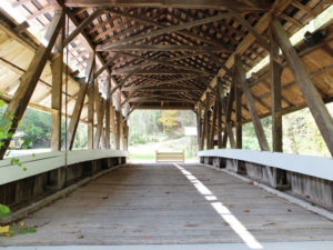
Mink Hollow Covered Bridge
1+ acres in Hocking Township in the southwest-central part of the county.
The site was acquired 1992 by donation from George and Miriam Jaschek.
Some of the activities you can enjoy at this park are viewing Mink Hollow Covered Bridge, birding and nature watching, photography, hiking or walking, dog walking, picnicking.
Park Features
The main feature of this park is this beautiful ‘house bridge’. It was built in 1887 by Jacob R “Blue Jeans” Brandt using the multiple kingpost truss with a central X brace, is 54′ long plus 7′ overhangs at each end and sits over Arney Run (creek).
The bridge is located, not in Mink Hollow, but about five miles away in Oil Mill Hollow. To more accurately reflect its location the name was changed to what is the longest official name of any bridge in the US: Mink Hollow over Arney Run in Oil Mill Hollow near the Borcher’s Mill Covered Bridge.
Read more about Mink Hollow Covered Bridge or our other covered bridges.
Waterways
Arney Run
Content (to be added).
Trails
There are no trails at this location.
Shelters & Facilities
Reservations: No, this covered bridge is not available for private events.
Rental Fee: N/A
Security Deposit: N/A
Electricity: No
Bathrooms: No
Description: Because of limited parking at this covered bridge, it is not made available for private events.
Picnic Shelter
There is no picnic shelter at this location.
Picnic Tables
There is a picnic table and a bench near the parking area.
Map & Directions
Use the map above to get directions to this park. To view a Fairfield County map showing all Fairfield County Park District parks, see Map of Locations.
Location
2340 Meister Rd SW
Lancaster, OH 43130
Directions from Lancaster: From the corner of N Memorial Dr (US-33) and W Main St (US-22), drive west toward Circleville on Lincoln Av (US-22, Cincinnati-Zanesville Rd SW) approximately 0.7 miles. Turn south (left) onto Boving Rd; drive 2 miles. Turn right onto Hamburg Rd SW; drive 2.7 miles. Turn left onto Hopewell Church Rd SW; drive 0.8 miles. Turn left onto Meister Rd SW; drive 0.7 miles. Meister Rd SW make a curve to the right and becomes Crooks Rd SW. The entrance is on the left.

Social Contact