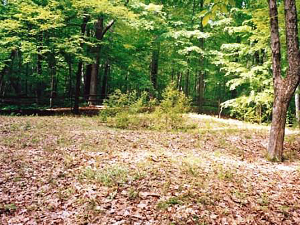
Cross Mound
Location
Cross Mound Park
11615 16th Rd SW
Stoutsville, OH 43154
Clearcreek Township | MAP
Hours
Open Year-Round, Dawn to Dusk

Its History
At the top of a moderate incline just west of Salt Creek, a tributary of the Scioto River, is a unique, ancient earthwork called Cross Mound. Very little is known about who constructed it or its purpose.
Cross Mound is in the shape of a plus sign, or cross. It has four identical arms, each about 12 feet wide, 3 feet high and 45 feet long. The ends of each arm are about 90′ apart. Archaeologists have suggested its western arm was carved out of the surrounding landscape as opposed to the traditional approach of mounding soil to create a structure. In the middle of the cross is a circular-shaped depression that is 20′ in diameter and about 12″ deep. Its orientation nearly aligns with the cardinal points of north, south, east, west.
It may have been a part of the Great Hopewell Road, a 62-mile pathway that once connected the Great Octagon Earthworks in Newark to either High Banks Earthworks or Hopeton Earthworks in Chillicothe.
There is also a mound of stones to the southwest of the south-pointing arm of Cross Mound. There are several smaller mounds nearby, some now are barely noticeable. Four mounds formed a perfect square, 260′ on the diagonal. Their purposes are unknown, also.
Map
Directions
Directions from Lancaster: From the corner of N Memorial Dr (US-33) and W Main St (US-22), drive west toward Circleville on Lincoln Av (US-22, Cincinnati-Zanesville Rd SW) approximately 4.5 miles. Turn south (left) onto OH-159, drive 10.6 miles. Turn right onto Water St; drive 0.1 miles. Turn right onto 16th Rd NW; drive 0.5 miles. The entrance is on the left.

Social Contact